What we do
Brandon Walls lead mine and ore works
Archaeology
This small mine site is on the east bank of the Rookhope Burn, approximately 2km downstream of Rookhope in Weardale, County Durham. The complex is partly wooded and overgrown.
Brandon Walls mine is set within the wider, more extensive industrial landscape of Rookhope valley. This mine forms one of the better preserved core areas of this landscape.
Volunteers completed 11 condition assessment forms. The main threats were identified as tree fall, tree growth, weather damage and footpath erosion. The results can be viewed on the interactive Google Earth map at the bottom of this page. The completed survey forms are in the volunteer archaeology report.
Photos of Brandon Walls Mine, taken by volunteers to support the condition assessment forms can be viewed in a Flickr album.
Botany
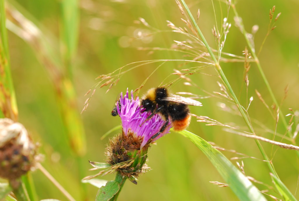
This site is small and shaded by trees. The calaminarian grasslands, with its typical metallophytes, has been lost but it now has a varies flora of woodland edge and wetland plants. Further details are in the botany report.
Geology
Almost no mineralisation is exposed on the site today. However, the geology report highlights four areas where geology can be seen.
Highlights of the main findings for the archaeological, botanical and geological interest at Brandon Walls are in the summary report. Detailed survey reports are available on request.
Self-guided trail
There is also a self-guided trail for Brandon Walls, enabling visitors to explore the mine site.

Related files
You may also like...


Did you know…